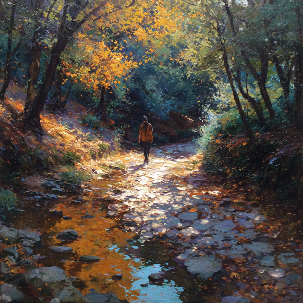
The Lafayette-Moraga Regional Trail is a 7.65-mile paved path running roughly parallel to St. Mary’s Road, connecting the Olympic Boulevard staging area in Lafayette to the EBMUD Valle Vista staging area on the southern edge of Moraga. Following the route of an old railroad line, it’s flat, family-friendly, and one of the best ways to experience Lamorinda without a car.
The Route
Starting at the Olympic Boulevard staging area in Lafayette (the formal northern trailhead), the trail winds through residential areas and open space, passing:
- Lafayette Community Park — water, restrooms, and the most popular mid-route rest stop
- Moraga Commons Park — the practical southern exit for most users; cross-link to the Moraga Commons entry for amenities and the summer concert series
- Valle Vista Staging Area — the trail’s formal southern terminus, just past Moraga at the EBMUD watershed boundary
Most riders and walkers end their trips at Moraga Commons because of the parking, restrooms, and easy car pickup. The trail itself continues another short stretch to the EBMUD Valle Vista staging area, where it ends officially. Both are valid finish points depending on what you’re after.
One persistent closure to know about: the final half-mile from Valle Vista to Westchester Street on the Moraga end has been closed since the 2022–2023 winter storms (a mudslide at the Canyon Bridge crossing of Moraga Creek). The remaining 7 miles between Lafayette and Moraga are fully open and behave like a normal trail; the closed half-mile is a stub at the far Moraga end that most users never use anyway. Always check the EBparks trail page for the latest status before routing through Valle Vista.
The old railroad route means gentle grades throughout — strollers and road bikes handle it easily.
Trail Users
The paved surface makes this trail accessible to everyone:
- Walkers and joggers
- Cyclists (road and hybrid bikes work best)
- Families with strollers
- Inline skaters
- Dog walkers (leashed)
Trail Etiquette (The Unwritten Rules Locals Know)
The trail is genuinely multi-use, which means it works only because most people follow a small set of conventions. Newcomers who violate them get a lot of frowning; regulars who violate them get a lot of talking-about at the Moraga Commons dog-walker confluence the next morning.
- Stay right, pass left. Two-abreast walking is fine in the low-traffic stretches; three-abreast blocks the path and forces cyclists into the gravel shoulder. Break the line to let bikes and joggers through when you hear a bell or an “on your left.”
- Cyclists announce. A bell or a clear “on your left” ~15 feet back is standard. Silent passes at speed startle walkers and dogs and are the single most common source of trail conflict.
- Dogs on a fixed leash, not a retractable. The retractable-leash-across-the-full-path move is the trail’s most-complained-about behavior. Standard 6-foot leash, dog on your right, you on the pavement. Dog waste bags at both trailheads and Lafayette Community Park; carry your own between them.
- No headphones at full volume. You need to hear the cyclist behind you. One earbud is fine; two earbuds with the volume up is the reason you got startled.
- Yield at the road crossings. The trail crosses several residential streets (most notably Oliveira Lane and the Reliez Valley connector); the road has the right-of-way, not the trail. Slow, look both ways, cross when clear.
- Strollers hold the right lane. Jogging strollers moving at pace behave like bikes; walking strollers behave like walkers. Either way, right side, and pass on the left when overtaking.
- Group rides announce themselves. A four-rider peloton passing a walker on a Saturday morning should thin to single file, call the pass, and thank the walker. It costs nothing and it is the reason the trail still tolerates group rides at all.
Trail Landmarks (South-to-North)
Useful reference points for planning a walk or ride. Distances are approximate from the Valle Vista trailhead (the southern terminus) heading north to Olympic Boulevard in Lafayette.
- Mile 0.0 — Valle Vista Staging Area (EBMUD watershed boundary, southernmost lot; formal trail terminus). Small lot, fills by 9 AM on weekend mornings.
- Mile 0.5 — Canyon Bridge / Moraga Creek crossing (the closed half-mile stub to Westchester Street branches south here — do not attempt).
- Mile 1.2 — Moraga Commons Park south entrance (bike rack at the playground; the practical trailhead for anyone based in Moraga). Restrooms, water fountain, and the summer concert bandshell are 200 feet east of the trail.
- Mile 2.4 — Rheem Boulevard crossing (residential street; slow and yield). The nearest coffee is a 3-minute walk east to the Rheem Center.
- Mile 3.1 — Oliveira Lane crossing (the trail’s midpoint area; exposed, warmest, watch for rattlesnakes in July–August on the shoulder rocks).
- Mile 4.2 — Reliez Valley connector (side path to the Trail–Reliez Valley neighborhood; useful for a shortcut out to Reliez Valley Road).
- Mile 5.4 — Lafayette Community Park (the mid-route rest stop — water fountain, restrooms, benches, ample parking, and the most reliable water refill on the trail). Popular turnaround point for out-and-back Lafayette-only walks.
- Mile 6.3 — Foothill Boulevard area (residential Lafayette; trail runs behind homes and along the creek, deepest shade on the whole trail).
- Mile 7.0 — Olympic Boulevard Staging Area (formal northern trailhead; ample parking, no restrooms, direct connector to downtown Lafayette via Olympic–Mt. Diablo Boulevard). The Lafayette Reservoir staging lot is a 6-minute drive further east on Mt. Diablo Boulevard — the two-loop day (reservoir + trail) is a local favorite.
Why Locals Love It
It’s not wilderness — it’s better for certain purposes. The pavement means you can use it year-round, wet or dry. The gentle grade means everyone from kids to grandparents can enjoy it. And it connects two towns, making it actually useful for transportation, not just recreation.
Seasonal Tips
- Mid-March through April: Peak wildflower season in the East Bay. The hillsides along the trail are emerald green and starting to bloom with California poppies, lupine, and buttercups. The stretch near Valle Vista offers particularly good views of the surrounding hillside color. Worth bringing a camera — mid-morning light is best for photos when the poppies fully open.
- Summer: Start early — shade is limited and the paved surface can get hot. Before 9am is ideal.
- Fall/Winter: The trail stays usable year-round thanks to the pavement, even right after rain.
Early July 2026 — The Sunset-Retreat Weeks, Post-Fireworks, Second-Half Concert Season
The hills are fully gold now. The green-to-gold pivot completed in mid-June and by the first week of July the southern stretch (Valle Vista, the EBMUD watershed boundary) is running its August palette a full three weeks early — dry grass, oak shadow, the exposed dirt on the shoulder cracking in the standard July pattern. Today, Monday July 6, the trail reads as deep summer. Notes for the week of July 6–12:
- Monday July 6 — the post-Fourth cooldown: The Saturday July 4 Moraga Commons fireworks and Sunday recovery have run their course; today the trail is at Monday-after-holiday-weekend volume, which is quiet through late morning, then a light uptick at the Moraga Commons end as visiting-grandparent households take one more slow walk before Tuesday-morning airport drives. See the Monday last-full-day field report for the departure-week rhythm. The 1:30 PM window on the southbound Moraga end is a canonical grandparent-and-grandchild walk hour this week.
- Best window: 6:30–8:30 a.m. on weekdays now (not 7–9 — early July is measurably hotter than mid-June on the exposed south-facing stretch, and the paved surface holds heat past sunset). Before 8 a.m. on weekends. Evening rides work from ~6:30 p.m. through about 8:00 p.m., cooled pavement, gold hills, the return ride timed to sunset.
- Sunset watch: The 2026 calendar’s latest sunsets peaked on June 28–29 at 8:37 PM and the retreat is now underway — tonight is 8:29 PM, seven minutes off the apex. The retreat runs about a minute a week through July, two a week through August, four a week through September. Evening riders who leave Olympic at 7:00 PM this week get 90 minutes of usable light. By the last week of July it will be 75 minutes. Plan the turnaround accordingly.
- Concert-night pairing, Week 5 (Thursday July 9 — Bell Brothers): The second-half Moraga Commons concert season opens Thursday, July 9 with Bell Brothers (country · rock · Americana). The classic bike-in move — Olympic staging → south to the Commons → lock at the playground rack → picnic blanket for the 6:30 p.m. set → post-concert ride home under streetlights — is fully in effect. The Bell Brothers week draws slightly older and slightly earlier than the tribute-band weeks; be off the trail and at the lawn by 5:45 p.m. for a comfortable side-rectangle spot. Front-center in this crowd requires a 5:15 p.m. arrival.
- Trail surface: Bone dry, fast, and warm. No rain in the ten-day forecast; roadie-friendly conditions the full length. The Moraga Creek crossing at Canyon Bridge is dry gravel through the culvert (as expected in July), no wet spots to route around.
- Heat management: The trail’s shade is limited, and the exposed sections between the Lafayette Community Park and the Reliez Valley connector run about 8°F warmer than the tree-shaded stretches. Bring more water than you think you need — the water fountain at Lafayette Community Park is the reliable mid-route refill. The Moraga Commons playground fountain is the reliable south-end refill.
- Rattlesnake heads-up: July is peak rattlesnake activity on the exposed shoulder rocks between the Oliveira Lane crossing and the Reliez Valley connector. Keep dogs on a short leash through that stretch (the standard 6-foot leash, not the retractable), watch the shoulder if you’re stopping for water, and give any coiled shape on the pavement edge the full 3-foot berth. Bites are rare on this trail — but they happen, and July is when.
- Valle Vista stub still closed: see the Route section above — the final half-mile to Westchester Street remains closed (storm damage from 2022–2023). The 7-mile Lafayette-to-Moraga run is unaffected.
Local Lore
The trail’s gentle, steady grade isn’t a coincidence — you’re walking on railroad history. This was once the Sacramento Northern Railway, an electric interurban line that connected Oakland to Sacramento via the East Bay hills. Passenger service ran from 1913 until 1957, with stops in Lafayette and Moraga connecting these then-rural communities to the greater Bay Area.
At its peak, the Sacramento Northern was part of an ambitious electric railway network that let you travel from San Francisco to Chico without a car. Locals rode it to work, to shop in Oakland, to visit family in the Central Valley. The gentle curves you walk today were engineered for electric railcars making that climb from sea level to the 900-foot summit near Moraga.
After passenger service ended, freight continued until 1977. The East Bay Regional Park District acquired the right-of-way in the 1970s and converted it to the trail we know today. Look carefully in spots and you might notice the old railroad bridges — some of the infrastructure remains, hidden in plain sight.
The next time you’re coasting downhill toward Moraga Commons, remember: a century ago, passengers in electric railcars made the same descent, watching the same hills roll by (a bit faster, perhaps).
Good to Know
- Free — no parking fees at trailheads
- Open sunrise to sunset
- Water fountains at various points
- Shade is limited — bring sun protection on hot days
- Connects to Briones to Mt. Diablo Trail for longer adventures
Explore More in Lamorinda
- Lafayette Guide — Full overview of the town this sits in
- All Things to Do — More Lamorinda outings, parks, and venues
- Real Estate in Lamorinda — Buying or selling in Lafayette, Moraga, or Orinda